


All organisations have their own evacuation processes to ensure staff exit the premises safely and in a timely manner. But during a real evacuation, time becomes more critical. Being able to mark people safe and missing quickly can provide valuable information to emergency services and fire marshals.
How does the Sense real time location system work?
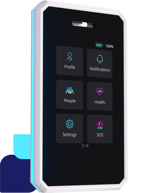
With so many advancements in location technology, its only logical to try an implement these advancements into life critical processes. With Sense, we bring together BLuetooth, GPS, and LTE-M to enable RTLS (Real time location system) for real-time location of staff. Using our SenseBadge or mobile phone app, users can be located automatically when an emergency evacuation has been triggered.
Bluetooth-enabled gateways act like beacons to track user proximity and can be distributed throughout a facility to identify which beacon a user is near. During an evacuation process, the Sense Platform scans each gateway to see if it can detect any users nearby and highlight they are still in the building.
As most evacuation meeting points are outdoors, Sense uses GPS geofencing to mark the safe zone. As users enter the safe zone, they are automatically marked safe in the Sense Console.
Another approach is to have NFC tags installed in the safe zones, allowing users to tap their badge or phone to mark themselves complete.
How can a real time location system improve evacuations?
So, let us picture a scenario. A fire is detected, resulting in the triggering of the fire alarm. A fire marshal can activate the fire evacuation procedures in the Sense Console, which then triggers workflows to locate all staff and send alerts. An alert is sent to each user to confirm this is a real evacuation and requests them to safely leave the building.
As users are leaving the building, Sense gateways are scanning for users nearby to identify who is still in the building. Fire marshals and managers can quickly view the staff list and see who has been detected by a gateway, and therefore, are marked in the building. A summary count allows them to see if there are still 120 people or 12 people in the building.
To confirm staff are safe, a geofence is set up at evacuation meeting point to use GPS to locate staff are in a safe zone. As users enter the safe zone, the workflows mark the user is safe and which zone they are were detected in on the Sense Console dashboard. An NFC tag is also in the safe zone for staff to mark themselves safe by simply scanning using NFC on their SenseBadge or mobile app. Although Sense has detected them in the safe zone, simply scanning the NFC reminds staff that it is also their responsibility to mark themselves safe, especially where GPS coverage might not be as strong.
Environmental sensors built into Sense Badges can give assistance to rescuers as they will have an indication if the area is contaminated with smoke or other potential gaseous hazards.
Once all users are safely evacuated, the fire marshal or safety lead in each zone can quickly filter all listed staff in their zone, and visually confirm each user. This ensures managers and fire marshals have live data on who is safe, and who is unaccounted for, and can share quickly with emergency services.
These steps all help toward creating a safer workplace, with better evacuation outcomes. If you’re interested to learn more about how a real time location system can help you create a safer workplace, then speak to a Sense consultant today.

