

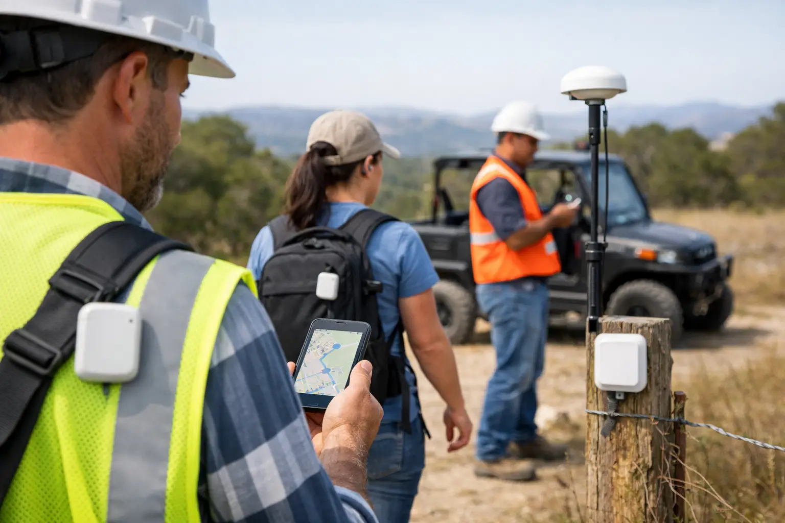
A facilities supervisor receives an urgent call from a customer site. A lone engineer has missed a check-in, a cleaning team needs redeploying, and a critical piece of equipment cannot be found. If the only answer is a phone call, a spreadsheet or a worker’s last reported location, response time becomes uncertain. Outdoor tracking for mobile teams gives operations leaders a clearer, live view of where people and assets are operating, and what should happen next.
For teams working across estates, construction sites, hospital grounds, housing stock, retail parks or customer locations, location is operational data. Used appropriately, it can support staff safety, improve dispatch decisions, verify attendance and create a more reliable record of service delivery.
What outdoor tracking for mobile teams means
Outdoor tracking uses location technology to establish the position of people, vehicles or equipment beyond a single building. GPS is the best-known method. It receives signals from satellites and is well suited to broad outdoor positioning, such as identifying which site a mobile operative is attending or whether an asset remains within a defined area.
A real-time location system, or RTLS, brings this data together with other positioning methods. Bluetooth Low Energy, known as BLE, can support proximity and zone-based location around buildings, yards and site entrances. Ultra-wideband, or UWB, is designed for precise positioning in supported deployments, particularly indoors or in controlled areas. Connected gateways receive data from nearby badges, tags and sensors, then pass it to a central platform.
The practical requirement is rarely GPS alone. A mobile team may arrive at a depot, enter a plant room, move through a hospital campus, work in a service yard and travel to another site in one shift. A suitable design uses the technology that matches each area and decision. GPS can establish the outdoor context; BLE, gateways and UWB can add more detailed location where that detail is required.
Start with the operational question, not the map
A map showing moving dots may look useful, but it is not automatically useful operationally. The first question should be: what decision needs better evidence?
For a lone-worker process, the question may be whether a colleague has reached a scheduled location, triggered an SOS alert or remained inactive for an unusual period. For facilities management, it may be which qualified operative is nearest to a priority job. For social housing repairs, it may be whether a visit happened at the correct address and time. For construction, it may be whether a tagged asset has left a work zone.
This distinction shapes deployment. If the need is proof that a worker attended a customer site, a geofence may be enough. A geofence is a virtual boundary around a real location. Entering or leaving it can create an event, such as arrival, departure or a missed visit. If the need is to find a defibrillator, trolley or tool within a large building, broader GPS data will not provide the necessary precision.
Location data should therefore be linked to a defined workflow, not collected simply because it can be. This reduces noise for managers and helps organisations explain the purpose of the system clearly to staff.
Where GPS helps, and where it does not
GPS is valuable for outdoor work because it does not require infrastructure across every road, estate or customer location. It can help confirm a worker is at the right site, identify the approximate position of a lone worker requiring assistance, and show whether mobile assets are within an expected operational area.
However, GPS has limitations. Accuracy can vary with sky visibility, building density, weather conditions and the device itself. It is generally less dependable inside buildings, beneath canopies, near tall structures or in dense urban environments. It also cannot reliably distinguish between rooms, floors or closely positioned work areas.
That matters when teams cross the boundary between outdoors and indoors. Relying on one technology can leave gaps exactly where operations become more complex. A combined approach is more appropriate for organisations that need continuity from site arrival through to work completion inside a building or defined zone.
Connect location to actions that matter
The value of location intelligence increases when physical events can trigger practical action. Rather than asking staff to complete multiple manual updates, organisations can use verified presence and time data as part of a wider process.
A wearable badge or button can provide a clear way for a worker to request assistance. If an SOS event is raised, the system can share the worker’s latest known location with the appropriate response team. Fall detection and lone-worker check-ins can add further signals, although the escalation process must be designed, staffed and tested. Technology can support a response, but it does not replace clear procedures or competent supervision.
Location can also support task allocation. A supervisor may need to identify an available operative near a job, rather than dispatching someone from across a large estate. When a worker reaches a required zone, the platform can record location and time as evidence of arrival or task completion. This can strengthen audit trails for inspections, cleaning, maintenance and field service work.
Sense Presence is designed around this connection between physical-world data and operational workflow. Proprietary badges, tags, gateways, buttons, beacons and sensors work with software to provide location information and support location-aware automation. The aim is not more tracking for its own sake. It is faster decisions based on evidence from the workplace.
Design for mixed environments
Mobile teams do not work in neat technology boundaries. A university campus may include car parks, public paths, laboratories, stores and plant areas. A manufacturing operation may extend from an outdoor loading yard to production lines and warehouses. A healthcare estate may span buildings, entrances and grounds, with different levels of location detail required in each.
A sound deployment begins by mapping these operational zones. Define where outdoor GPS-level information is sufficient and where finer-grained positioning is necessary. Consider gateways where BLE or UWB coverage is needed, and choose the right device for the person or asset being located. A worker may need a badge with safety functions, while a mobile piece of equipment may require a compact tag.
It is also worth deciding what happens when connectivity is interrupted, devices are not charged, or a person enters an area with weak satellite coverage. These are operational design questions, not minor technical exceptions. Teams need a process for exceptions and a clear understanding of what the platform can and cannot verify.
Privacy, transparency and workforce trust
Location technology affects people directly, so deployment requires more than a technical plan. Employers should define the purpose of tracking, the data collected, who can access it, how long it is retained and how it will be used in practice. A system introduced for worker safety or service verification should not quietly become a general-purpose performance surveillance tool.
For UK organisations, data protection obligations must be considered from the outset. Location data can be personal data where it relates to an identifiable individual. The Information Commissioner’s Office provides guidance on data protection and monitoring at work, and organisations should seek appropriate internal legal, data protection and employee relations input for their circumstances.
Transparency is also practical. Workers are more likely to use a badge, safety button or check-in process correctly when they understand its purpose, how alerts are handled and what information managers can see. Explain the safety and operational use case in plain language. Consult affected teams early, train supervisors, and keep access to location information proportionate to the role.
Questions to ask before selecting a solution
A location project should be assessed against the decisions it needs to improve. Buyers should ask whether the platform supports both outdoor and indoor environments, how it handles transitions between them, and what level of accuracy is needed for each use case.
They should also examine the physical technology. Software-only tools often depend on phones, manual forms or self-reported updates. Those methods can be appropriate for some processes, but they do not always provide independent evidence of presence or asset location. Dedicated hardware, firmware, tags, gateways and wearables can create more reliable signals when conditions, safety requirements or audit needs demand it.
Integration and administration matter too. Consider how location events will connect with existing job management, security, safety or facilities processes. Confirm how devices are issued, maintained and replaced, who receives alerts, and how historical data will be reviewed. The total operational model matters as much as the location display.
Frequently asked questions
Is GPS accurate enough for outdoor mobile workers?
It depends on the task. GPS can be suitable for confirming approximate outdoor position, site attendance and geofence events. It is not normally sufficient for reliably locating a person or asset inside a particular room, floor or tightly defined work area. Mixed environments often need GPS alongside indoor positioning technology.
Can outdoor tracking improve lone-worker safety?
It can provide useful location context when combined with SOS alerts, check-ins, escalation procedures and trained response teams. It should support, rather than replace, a wider lone-worker risk assessment and safety process.
Can location data prove that work was completed?
Location and time records can provide evidence that a worker or tagged asset was present at a specified place. For stronger proof of completion, organisations may combine this with task status, photographs, sensor events, customer sign-off or other records appropriate to the service.
What devices do mobile teams need?
The right device depends on the work. Wearable badges and buttons can suit workers who need safety functions or hands-free identification. Tags can suit tools, equipment and mobile assets. The important point is selecting hardware that matches the environment, workflow and required location accuracy.
The best outdoor tracking programme is one that makes the next operational decision easier: send help to the right place, dispatch the right person, find the right asset, or verify the work that has been done.