

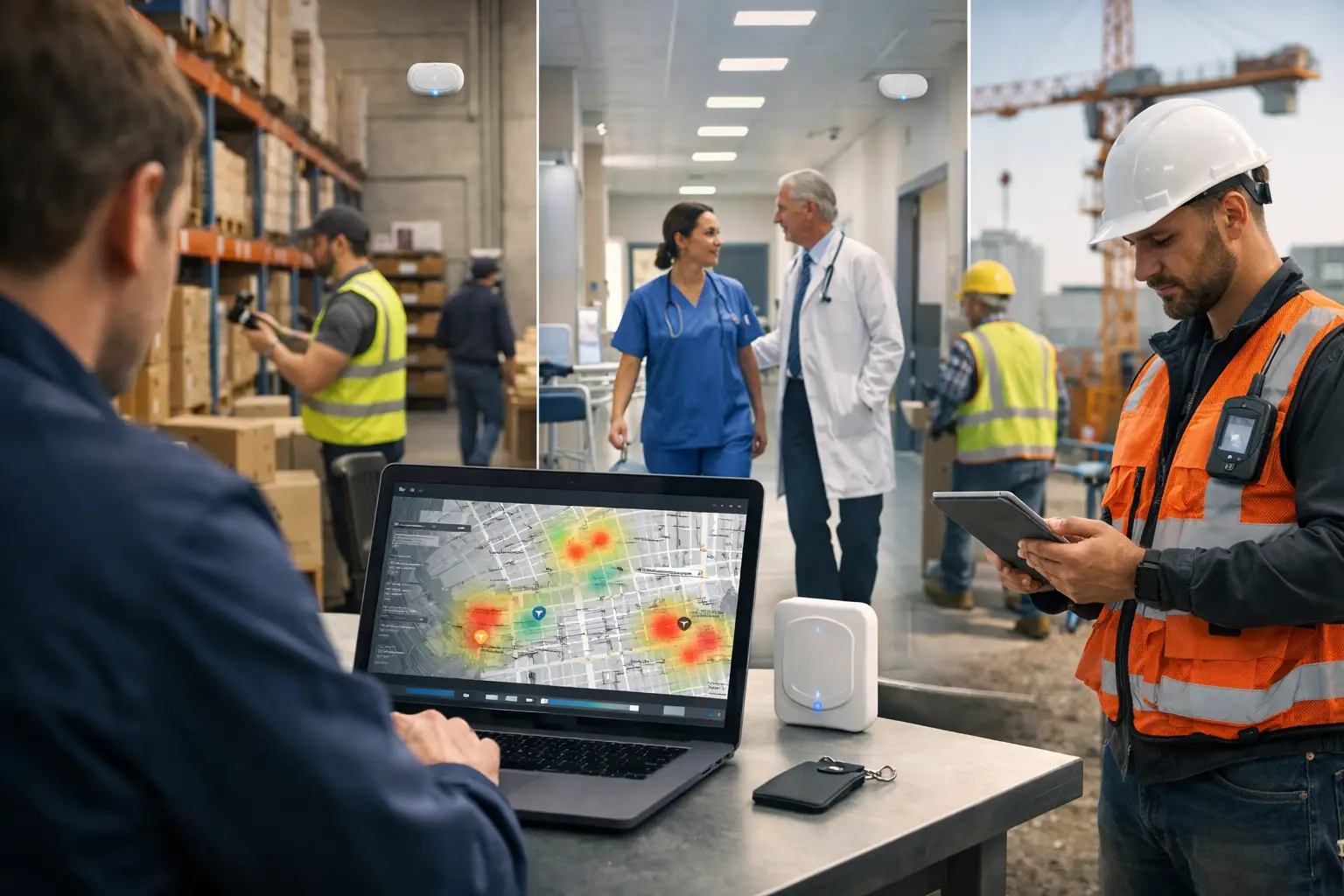
A missed lone-worker check-in, a pump that cannot be found during a breakdown, or a disputed service visit all create the same operational problem: the organisation has no reliable record of what happened, where and when. Historical workplace location analytics turns past location and event data into evidence that teams can use to investigate incidents, verify activity and improve how people, assets and spaces are managed.
It is not about replaying every movement for its own sake. The value comes from answering specific operational questions with defensible data: Was the right engineer at the plant room? How long did an emergency response take? Which areas are consistently underused? Where do assets spend most of their time? Are tasks being completed at the required location?
What is historical workplace location analytics?
Historical workplace location analytics is the analysis of location data collected over time. It combines a record of where a person, wearable or tagged asset was with timestamps and relevant operational events, such as an SOS alert, task acceptance, entry into a verification zone or environmental threshold breach.
Real-time location systems, commonly called RTLS, provide the underlying position data. Depending on the workplace, that data may come from Ultra-Wideband (UWB), Bluetooth Low Energy (BLE), GPS, connected gateways and sensors. Each technology has a different role. GPS is effective outdoors but generally cannot provide dependable indoor positioning. BLE can support broad indoor location and proximity use cases. UWB is suited to deployments that need precise indoor positioning, with Sense UWB capable of up to 10cm accuracy in supported deployments.
Historical analysis preserves the operational context after the live moment has passed. A live map can show where a response team is now. A historical view can show who was closest when the alert was raised, when they arrived and whether the situation was escalated appropriately.
Location history is only useful when it reflects the physical world
Phone-based check-ins and digital forms have their place, but they often depend on manual action. They may show that someone submitted a form, not that a worker, asset or task was at a particular point in the workplace.
A purpose-built location ecosystem creates physical-world data. Badges carried by workers, tags attached to equipment, gateways that receive signals, beacons that define areas, buttons that raise alerts and environmental sensors can all contribute to a time-based record. Proprietary hardware and firmware matter because the quality of the record depends on how consistently devices detect, transmit and interpret events in real operational conditions.
Why past location data matters operationally
Most operational teams do not need more dashboards. They need quicker answers when a risk, delay or service issue occurs. Historical data makes the difference between assumption and evidence.
For safety teams, an incident timeline can establish when an SOS button was pressed, the worker’s last known location, whether a fall event was detected and how nearby colleagues responded. This does not replace emergency procedures, training or supervision. It gives responders and investigators a more accurate account of events, particularly in large, noisy or complex sites where radio calls and recollection can be incomplete.
For facilities and service delivery teams, the same data can support proof of completion. A cleaning task, inspection or maintenance visit can be associated with time and location, rather than relying only on a tick-box record. Where the process requires presence in a defined area, a verification zone can provide a clearer audit trail.
For asset-intensive environments, history reveals patterns that a live location screen cannot. A wheelchair, scanner, tool or piece of test equipment may be technically available but repeatedly left in the wrong zone, held too long in one department or taken between sites without a clear handover. These patterns can inform allocation, storage and replenishment decisions.
Turning location records into useful analysis
The most valuable historical analysis starts with a defined decision, not a generic request to track everything. An operations director may want to reduce time spent searching for essential equipment. A health and safety lead may need to understand response performance following lone-worker alerts. An estates manager may be reviewing whether specific rooms or service areas are being used as intended.
The data model should then reflect that decision. A location point by itself has limited meaning. It becomes useful when associated with a worker role, asset type, site, zone, work order, alert or sensor condition. A sequence of events can then show the operational story: an alarm occurred, the nearest qualified person was identified, they travelled to the location, entered the zone and closed the associated task.
Analyse dwell, movement and exceptions
Three analytical views are particularly practical. Dwell analysis shows how long a person or asset remained within a defined area. It can help identify equipment held in bottleneck locations, prolonged waits or areas that receive more use than expected.
Movement analysis shows routes and transitions between zones. In manufacturing, it may expose repeated journeys for parts or tools. In healthcare or hospitality, it may help teams understand service coverage across a large estate. The interpretation should remain grounded in the process. More movement is not automatically poor performance; it could reflect the actual layout, workload or care requirement.
Exception analysis focuses on events that did not follow the expected pattern. Examples include an unattended asset leaving a permitted zone, a safety check not taking place within the expected period, or a task recorded as complete without verified presence at the required location. This is often more manageable than reviewing every movement record.
Accuracy, coverage and deployment choices
The right system depends on the decision being supported. If a team only needs to know whether an asset is on a site, GPS or a broad geofence may be sufficient outdoors. If they need to identify which floor, room or bay contains that asset, indoor infrastructure and a more appropriate positioning technology are required.
Accuracy is not the only consideration. Coverage, battery life, device form factor, environmental conditions, gateway placement, map quality and user adoption all affect the usefulness of historical data. Warehouses with racking, construction sites that change layout and multi-storey buildings create different technical demands. A deployment should be surveyed and designed around the places where decisions need to be made, rather than pursuing maximum precision in every area.
A combined approach is often appropriate. GPS can support outdoor journeys and site arrival, while BLE or UWB supports indoor zones and precise work areas. Connected gateways can bridge those environments, providing the data pathway from physical devices to software.
From analysis to location-aware action
History helps organisations improve future operations when it feeds a clear workflow. A repeated delay at one location may justify changing asset storage. A pattern of slow emergency attendance may inform responder coverage or escalation processes. Repeated missed visits may reveal a scheduling problem, a site-access issue or an unrealistic service plan.
Location-aware automation reduces the gap between an event and the next action. For example, entering a zone may verify arrival for a task; an SOS event can provide responders with a location; a tagged asset crossing a boundary can trigger a notification. SenseAutomate enables organisations to configure no-code workflows around these location and operational events, while retaining the historical evidence needed to review what followed.
This should not be treated as an automatic judgement engine for individual performance. Operational data needs context, particularly where workload, access constraints, customer requirements or safety incidents affect movement. Managers should investigate exceptions fairly and combine location history with relevant records and professional judgement.
Privacy and governance are part of the design
Location history can be sensitive because it relates to identifiable people and their working activity. UK organisations should define a specific operational purpose, collect only the data needed for that purpose, set proportionate retention periods and control who can access records. Workers should understand what is collected, when it is collected and how it will be used.
A practical governance process also distinguishes between worker safety, service verification and general productivity monitoring. These uses carry different expectations and risks. Involving HR, health and safety, IT, security and employee representatives early can expose issues before rollout. The Information Commissioner’s Office provides guidance that organisations should consider when designing workplace monitoring arrangements.
FAQ
Is historical location analytics the same as employee monitoring?
No. It can be used in ways that concern employees, but its purpose should be defined more narrowly: for example, protecting lone workers, verifying attendance at a safety-critical location, locating assets or evidencing a completed service. Proportionate collection, transparency and governance are essential.
How long should workplace location data be retained?
There is no single period that suits every organisation. Retention should reflect the documented purpose, operational need, investigation requirements and data protection obligations. Keeping data indefinitely because it might be useful later is difficult to justify.
Can historical analytics work across indoor and outdoor sites?
Yes, provided the deployment uses suitable technology for each environment. GPS can support outdoor coverage, while BLE and UWB can support indoor positioning. The required accuracy and coverage should be set by the operational use case.
What is the difference between RTLS and geofencing?
RTLS is the wider system for determining the location of people or assets, usually using devices and infrastructure. Geofencing defines a virtual boundary or zone. It can be one feature within an RTLS deployment, used to verify entry, raise an alert or trigger a workflow.
The most useful starting point is a single moment your team currently cannot explain with confidence. Design the location data, hardware and workflow around that decision, then let the historical record improve the next one.